San Mateo Eichlers / Street index
Both tracts · Confirmed from transaction records
He named one tract after the Revolution.
Lexington. Yorktown. Ticonderoga. Bunker Hill. Monticello. Brandywine. Forge. New Brunswick. White Plains. Allegheny. Powhatan. Bennington. It is consistent across the Highlands and it is the quickest way to know you have crossed into the tract. Down on the bay plain, two years earlier, he had used women's first names instead.
Streets below are listed as carrying Eichler-era homes where we have transaction evidence, and flagged where a street is named in a source but the construction is later or non-Eichler. A street being on this list does not mean every house on it is an Eichler.
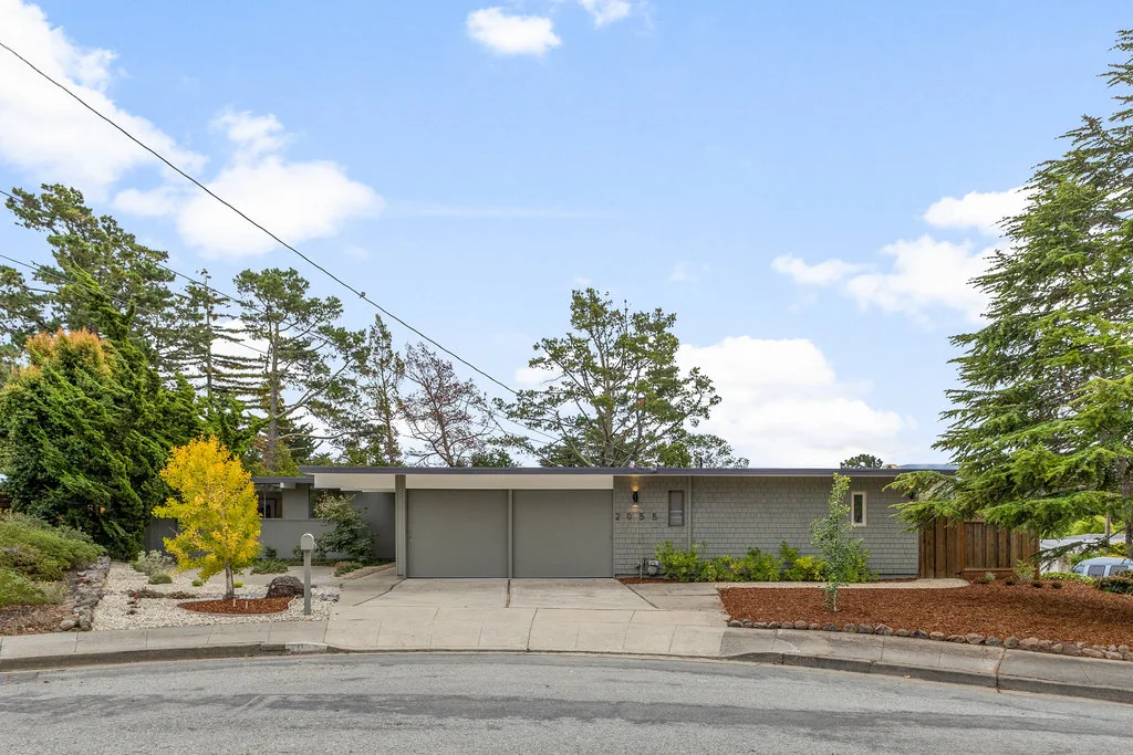
The tract, drawn
Two boundaries, and only one of them is the Eichler tract.
The tract and the census place are different shapes, and quoting one while meaning the other is how bad comparables and bad home counts get made. We have not seen them drawn together anywhere else.
The Highlands
Fifteen streets with Eichler-era homes.
| Street | Notes | Years seen |
|---|---|---|
| Lexington Avenue | The spine of the tract and its western edge. Carries the X-100 at 1586 and the Recreation District at 1851. | 1956–58 |
| Yorktown Road | The most architecturally significant street here. The Belluschi Life House at 1651, and seven 1965 Claude Oakland two-storeys on the east side. Also the name of the only known San Mateo model. | 1957 |
| Ticonderoga Drive | Southern edge of the Eichler tract per the tract description. | 1958 |
| Bunker Hill Drive | The circa-1959 brochure advertises a junior high school site here. Rendered "Bunker Mill" by brochure OCR — that is a scanning error. Some later infill. | 1958 |
| New Brunswick Drive | — | 1958 |
| Allegheny Way | Southern edge of the Eichler tract per the tract description. | 1957 |
| Monticello Road | — | 1956 |
| Forge Road | — | — |
| Laurel Hill Drive | Northern edge of the Eichler tract per the tract description. | 1964 |
| Laurel Hill Court | — | 1961 |
| Brandywine Road | — | — |
| White Plains Court | — | 1957 |
| French Creek Place | — | — |
| Powhatan Place | — | 1956 |
| Roxbury Lane | — | 1960 |
| Seneca Lane | Named in the tract description as part of the northern boundary. | — |
| Cobblehill Place | Later, non-Eichler construction. A 2022 build here sold in the same window and is exactly the kind of sale that contaminates a neighbourhood median. | 2022 |
| Bennington Court | Later, non-Eichler construction. | 1976 |
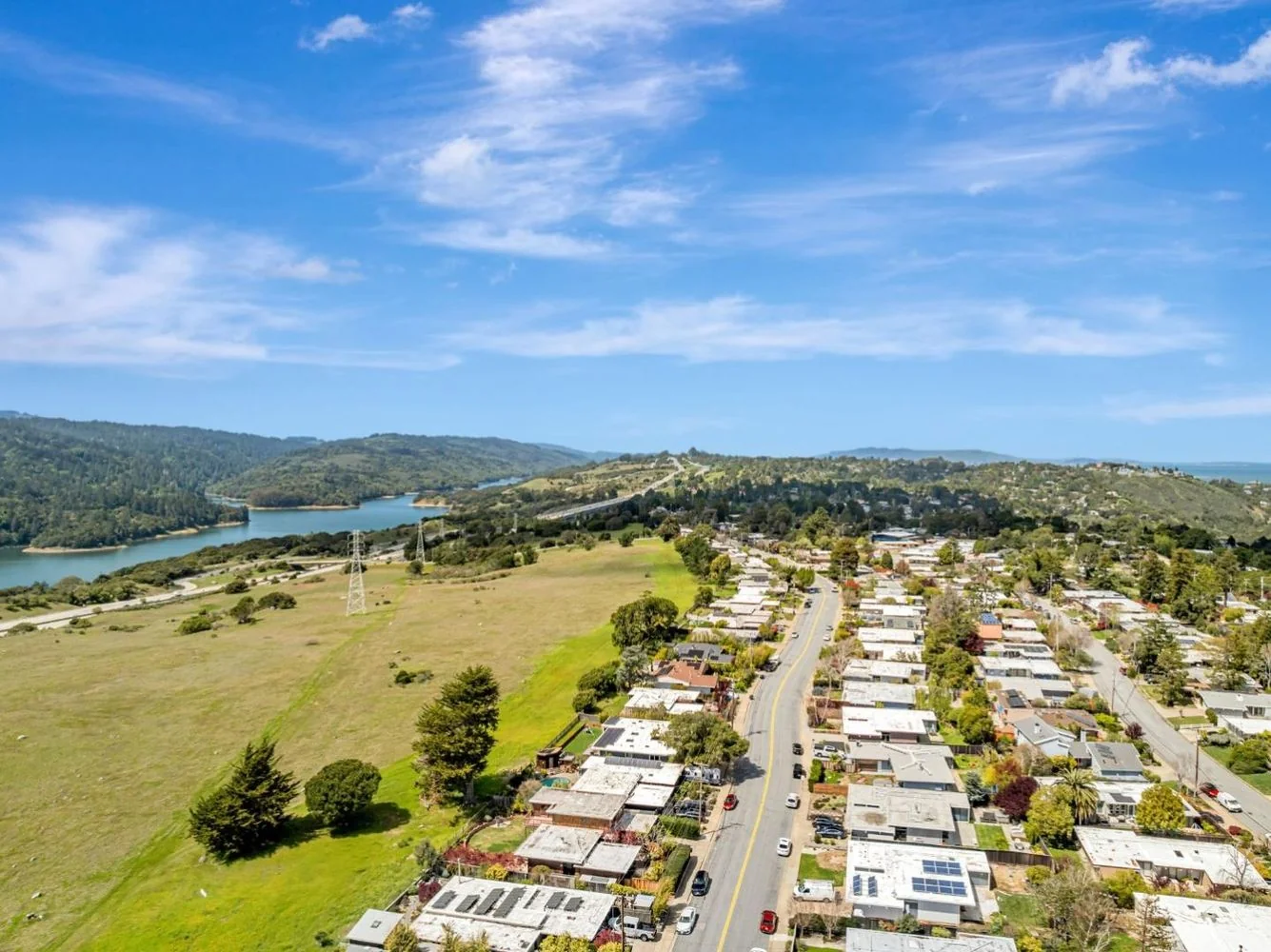
The boundary, in street terms
Per Eichler Network, the Eichler tract runs to Polhemus Road on the east; Lexington Avenue and the watershed lands on the west; Laurel Hill Drive and Seneca Lane on the north; and Allegheny Way and Ticonderoga Drive on the south.
The wider Highlands census place is bigger — I-280 to SR-92 to Polhemus to Crystal Springs Road — and includes housing that is not Eichler at all. Both boundary sets, side by side →
Infill you should know about
Not everything inside the boundary is from the fifties and sixties. The Chamberlain Development Group proposed 250-plus infill homes in the Highlands, was cut back to 96 by 1998, and was finally approved for eleven; three were built on Bunker Hill with eight more planned. The neighbourhood also contains traditional homes built by Whitecliff.
This matters for pricing as much as for history: a portal's "neighbourhood median" will happily mix a 2022 infill build with a 1957 Eichler. Which is why we don't use one →
19th Avenue Park
Eight streets and two lanes in.
- Joanne Drive
- Wolfe Drive
- Connie Avenue
- Eleanor Drive
- Edna Way
- Jody Court
- Celeste Drive
- Vanessa Drive
Plus homes on the west side of S. Grant Street near Haddon Drive. The two ways in are Charles Lane off S. Delaware Street and Betty Lane from S. Grant Street. The tract is bounded by S. Delaware Street, Concar Drive and S. Grant Street, and sits in MLS area 418 — inside the City of San Mateo, unlike the Highlands.
Talk to us
Tell us the street and we'll tell you the street.
What has traded on it, in what condition, what the lots do, what is uphill, and — where we can establish it — which plan the houses are. That last one nobody has published, and we are working on it.